
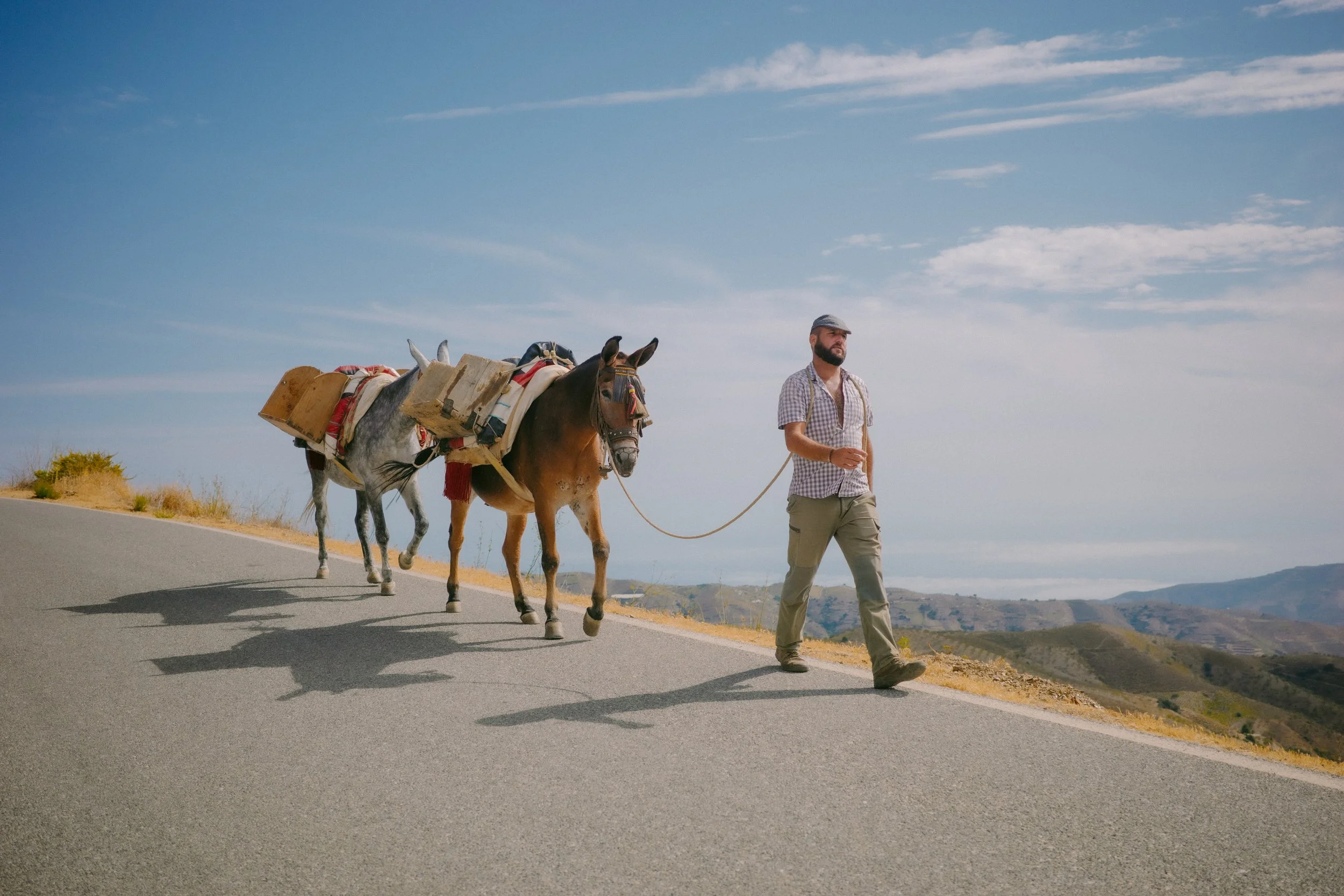
Camino de Cuatro Sierras
The Camino de Cuatro Sierras is a 344 km gravel bikepacking route in five stages across Andalucía, from Lanjarón in the Alpujarra over the Sierra Nevada to the Mediterranean at Almuñécar, with about 7,970 m of climbing. It links small villages with family-run places to sleep and eat. Here are the stages, the GPX files and where to stay, free to ride on your own.
The route at a glance
- Distance
- 344 km
- Climbing
- ~7,970 m
- Stages
- 5 · 60–75 km each
- Start → finish
- Lanjarón → Almuñécar
- Best seasons
- Spring & autumn
- Bike
- Gravel · 45–50 mm tyres
Four sierras, small villages, one line to the sea
We built the Camino de Cuatro Sierras to bring riders through the villages of the Alpujarra and the Lecrín Valley: places with more empty houses every year, where a night's stay and a long lunch make a real difference. The more people ride it, the better, so here it is, free.
Sleep in the family-run places we use, eat in the village bars, fill your bottles at the fountains. And if you'd rather not carry your bags or navigate, ride it with us as a guided tour.
Lanjarón to Cádiar
72.8 km · 1,640 m climbing · high point 1,310 m
From Lanjarón, the spa town at the gateway to the Alpujarra, east along the south side of the Sierra Nevada on gravel and farm tracks to Cádiar. The high point is 1,310 m.
Open in Komoot → Download the GPX from Komoot.
Sleep Alquería de Morayma, near Cádiar
Cádiar to Mairena
68.1 km · 1,910 m climbing · high point 1,130 m
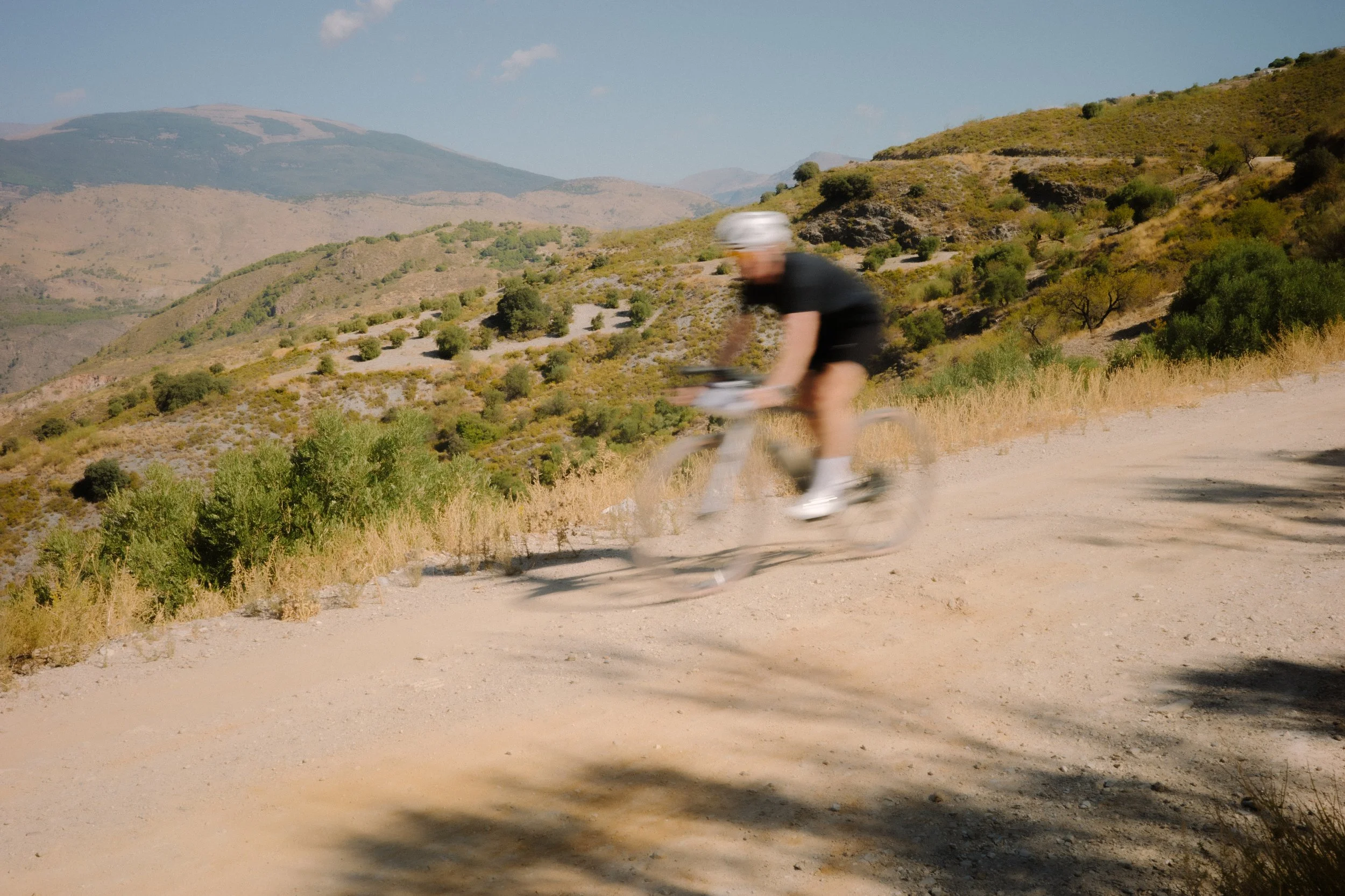
The biggest day of climbing: into the quiet eastern Alpujarra, through almond terraces and white villages, to Mairena.
Open in Komoot → Download the GPX from Komoot.
Sleep Casa las Chimeneas, Mairena
Mairena to Trevélez
59.8 km · 1,280 m climbing
A shorter stage high on the flank of the Sierra Nevada to Trevélez, one of the highest villages in Spain and the home of its famous cured jamón.
Open in Komoot → Download the GPX from Komoot.
Sleep La Fragua II, Trevélez
Trevélez to Nigüelas
74.8 km · 1,690 m climbing · high point 1,770 m
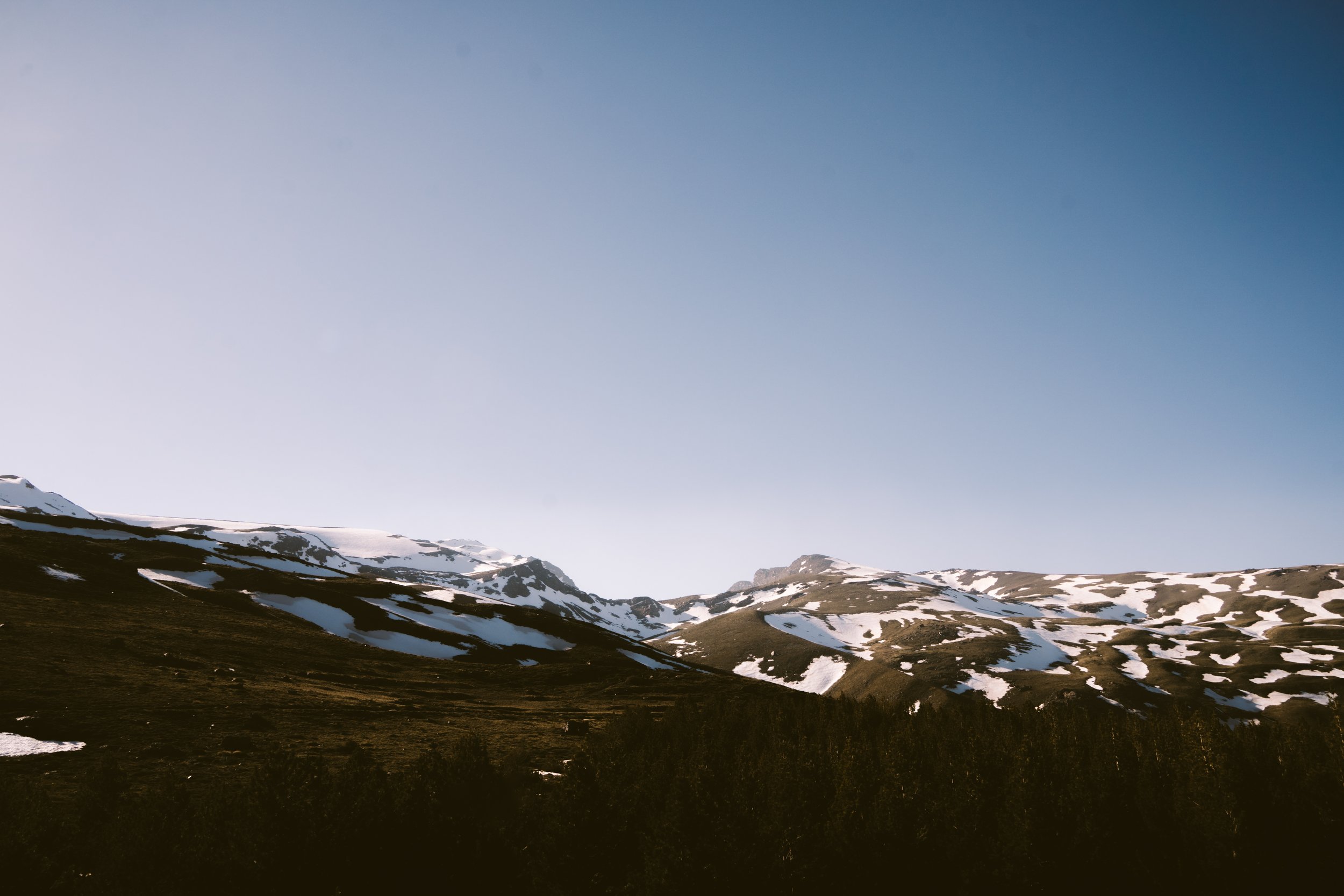
Back over the high ground to the route's highest point, 1,770 m, then a long descent into the Lecrín Valley to Nigüelas.
Open in Komoot → Download the GPX from Komoot.
Sleep El Secreto del Olivo, Nigüelas
Nigüelas to Almuñécar
68 km · 1,450 m climbing · high point 1,100 m
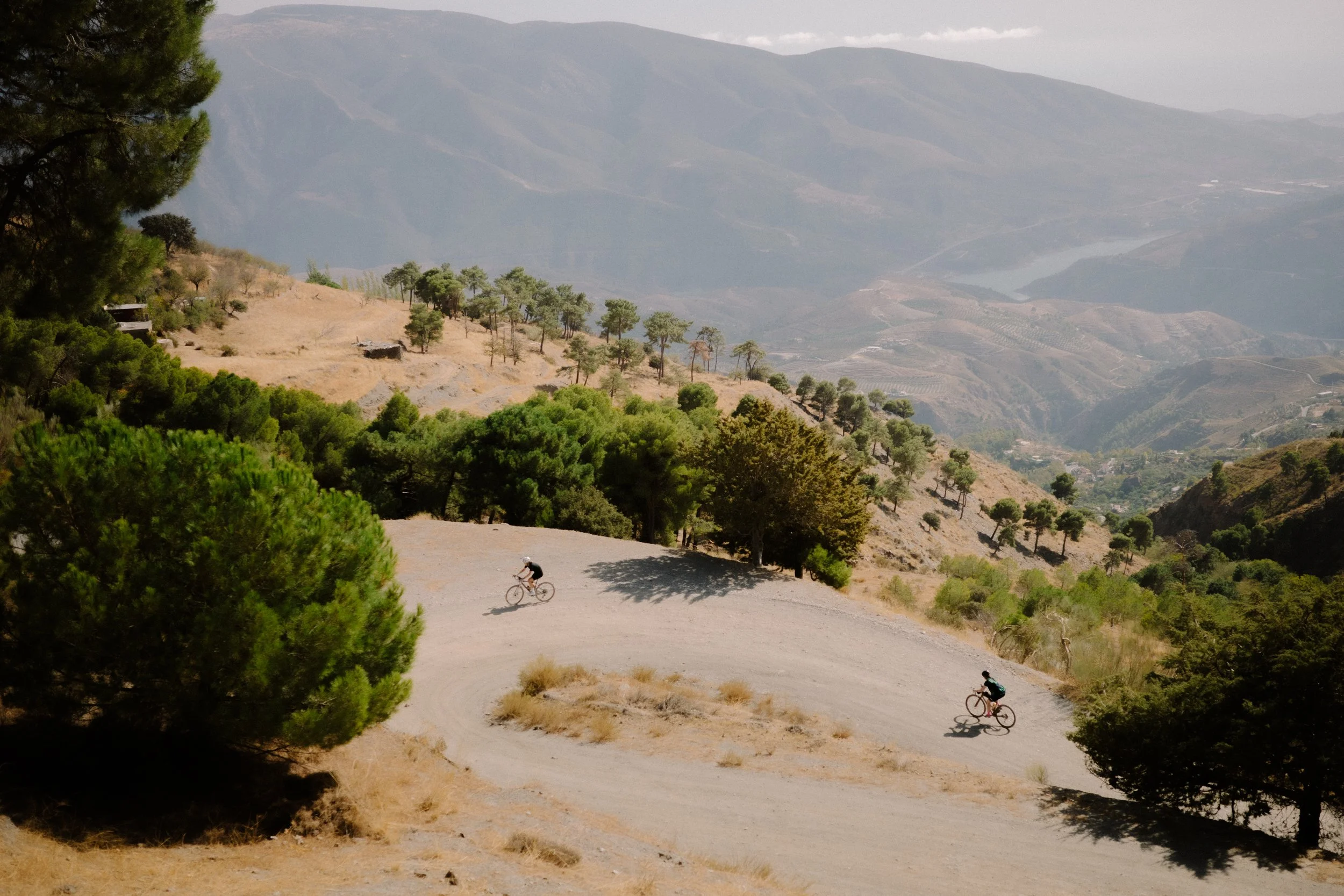
Over the last sierra and down to the sea: from 1,100 m to sea level at Almuñécar. Komoot has this stage in two parts.
Open in Komoot (part 1) → · Open in Komoot (part 2) → Download the GPX from Komoot.
Sleep Hotel Casablanca, Almuñécar
How we can help
Bikes: we hire BMC gravel bikes with 50 mm tyres, set up to your measurements. See the gravel bikes →
Getting there: fly into Málaga. Lanjarón is about 1 hour 30 minutes from the airport, and Almuñécar about 1 hour back. In Lanjarón we use Hotel Alcadima for the night before. We can arrange transfers: ask us.
The guided version: six nights with guides, hotels, meals, luggage transfers and a support vehicle, in May and October. See the tour →
More gravel: our gravel camp and the Gorafe Desert gravel guide.
Camino de Cuatro Sierras FAQ
How long is the Camino de Cuatro Sierras?
About 344 km with about 7,970 m of climbing, in five stages of 60 to 75 km, from Lanjarón to Almuñécar.
Where does the route start and finish?
It starts in Lanjarón, in the western Alpujarra, and finishes on the coast at Almuñécar. Both are easy to reach from Málaga airport: Almuñécar is about 1 hour away and Lanjarón about 1 hour 30 minutes.
What bike do I need?
A gravel bike with 45 to 50 mm tyres and low gearing. The route is mostly gravel and dirt roads, with some rough sections and long climbs. We hire BMC URS gravel bikes with 50 mm tyres.
When is the best time to ride it?
Spring and autumn. Summer is very hot at the lower end, and the high sections can have snow from December to March. Check the weather for Trevélez before stage 4.
Is there water and food on the way?
Yes, in the villages, but some sections are long and remote. Carry 2 to 3 litres, fill up at every village fountain and bar, and buy food the night before for the high stages.
Can I ride it with a guide?
Yes. We run the Camino de Cuatro Sierras as a guided tour in May and October, with hotels, meals, luggage transfers, a support vehicle and Málaga airport transfers included.
Ride it with us
Guided in May and October, or on your own with one of our gravel bikes.