The Climbs of Granada - Sierra de Lujar

THE NUMBERS
CLIMB CATEGORY - HC
Length of climb - 28.7km
Summit elevation - 1,856M
Start elevation - 31M
Elevation gain - 1825M
Gradient (avg) - 6%
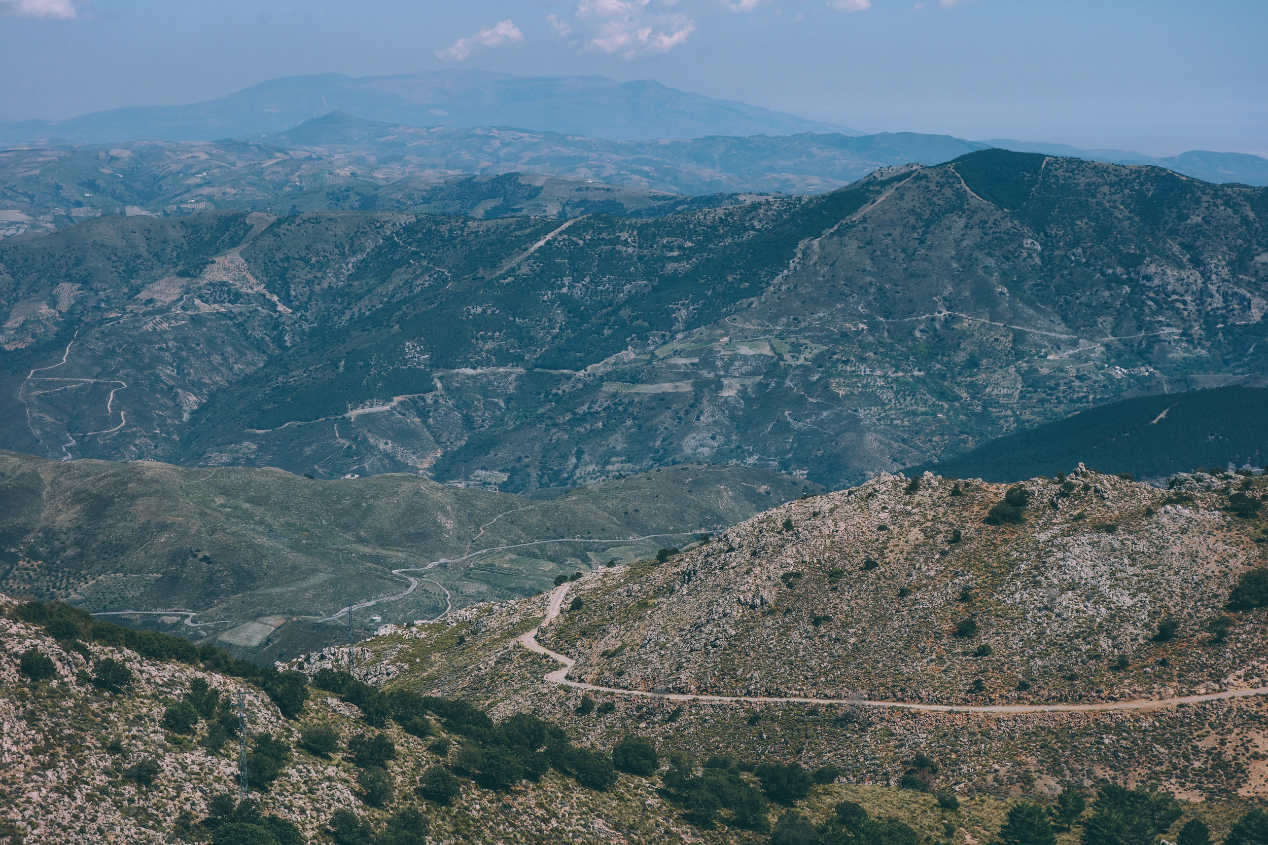
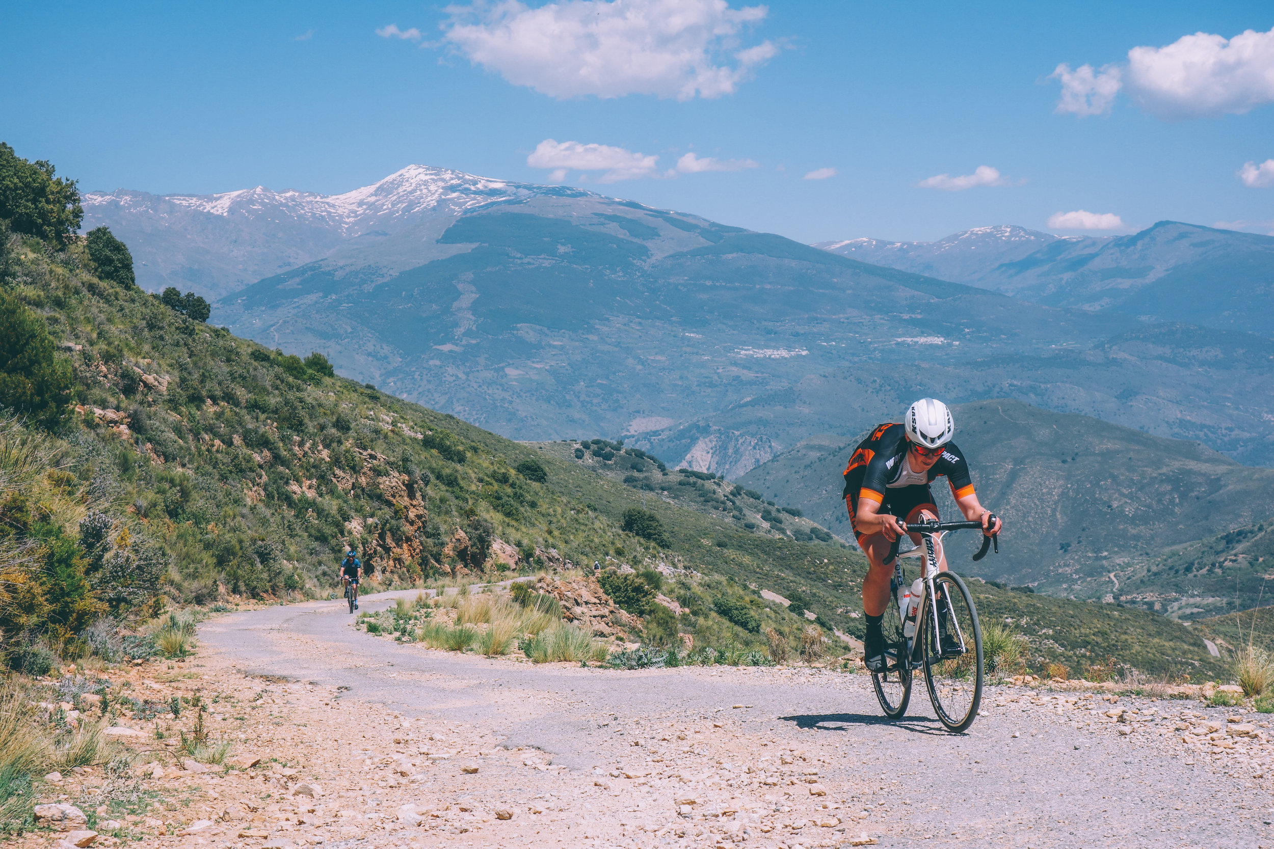
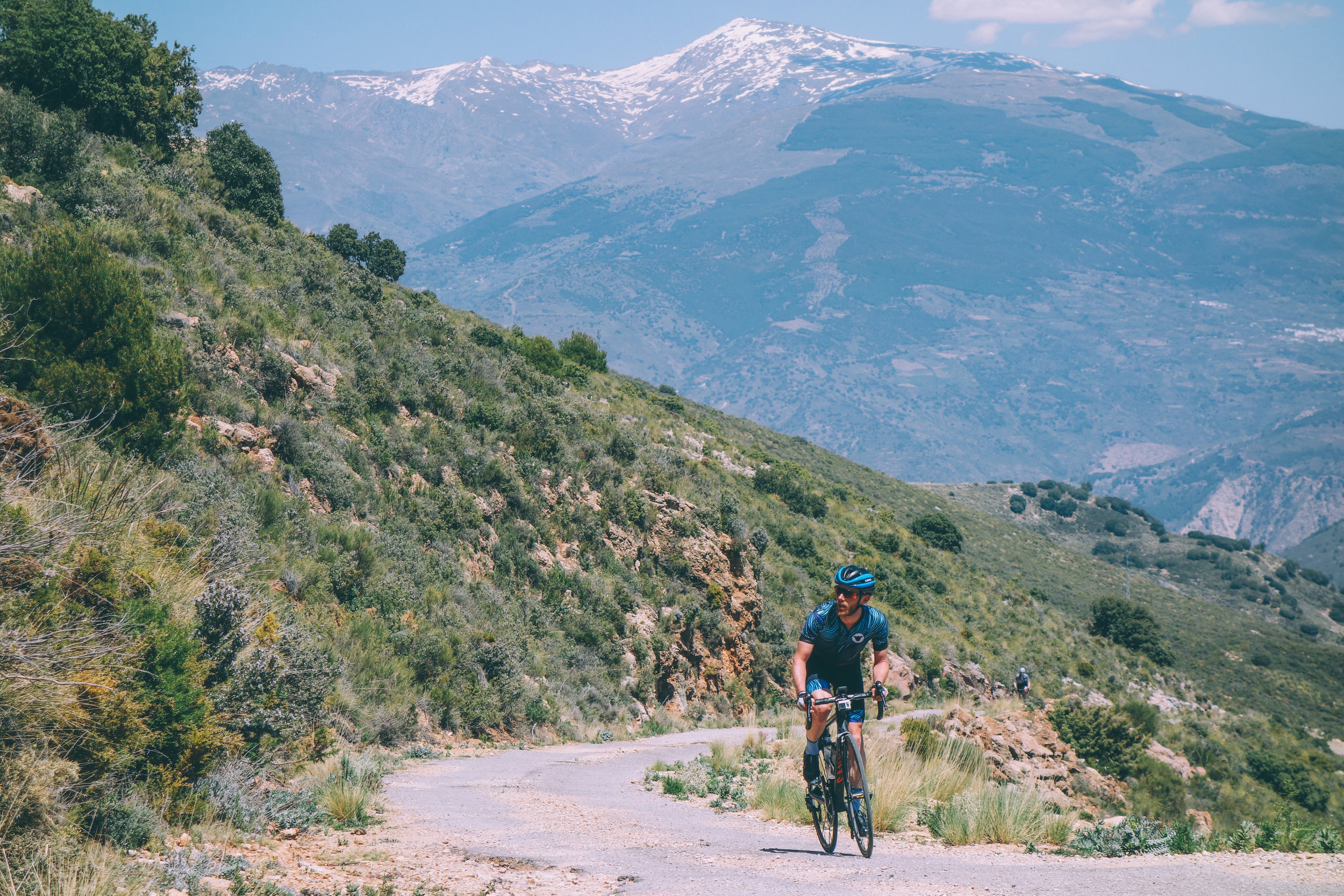
You can approach Sierra Lujar from a number of directions, such as from Orgiva or Castell de Ferro, but the approach coming from the Castell de Ferro side is stunning. This 28 km climb, averaging 6%, was a feature in Roadtripping Sierra Nevada, where it’s described…
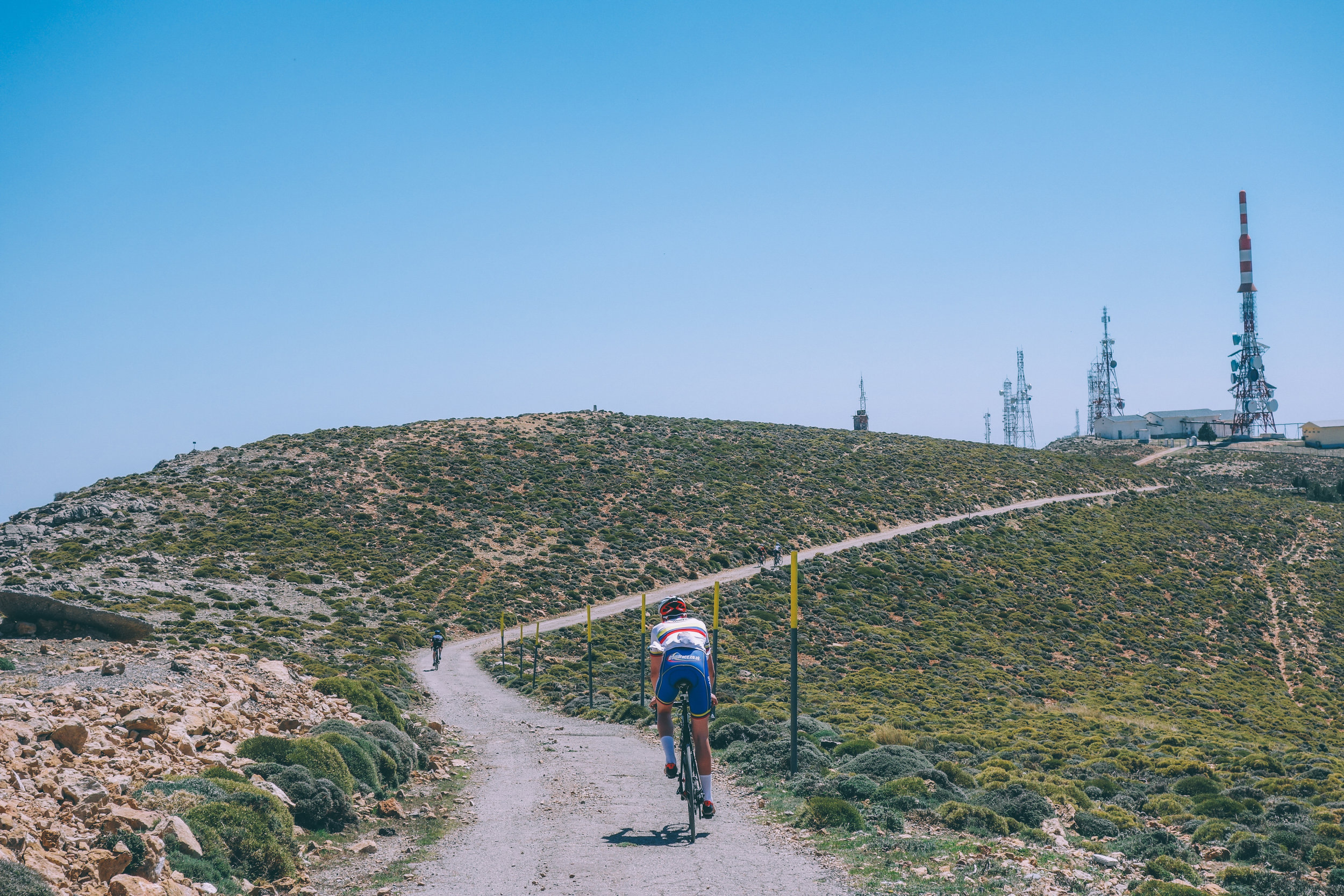
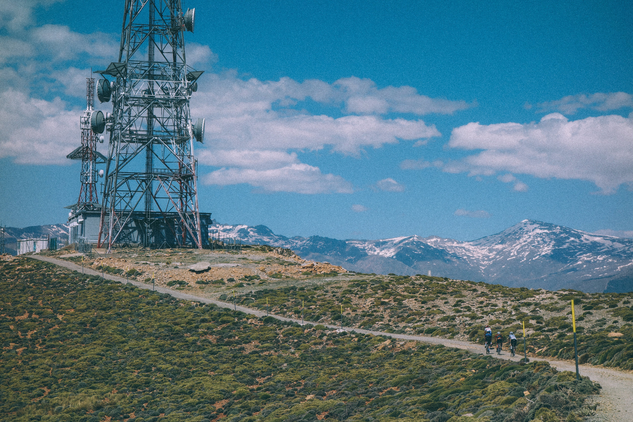
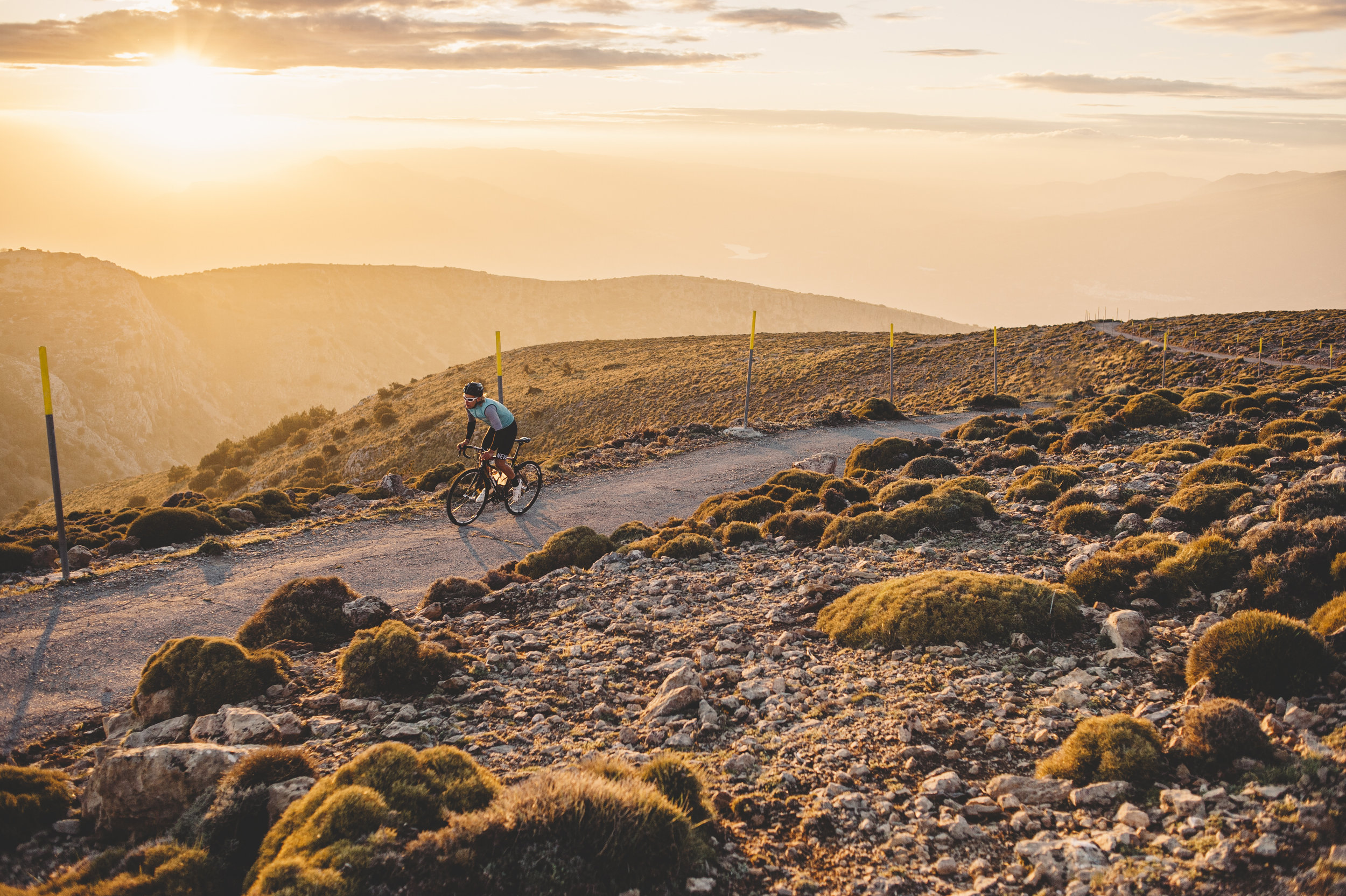
"There is one place here that I keep thinking about — the antennas at the top of Sierra de Lujar. I haven’t spotted a road leading to them, so we haven’t yet made an approach. I ask locals how to get to them but they’re not sure if it is possible at all by car, let alone by bike. It seems that nobody goes there, but surely there must at least be an access path leading to them. Eventually we find an old, narrow road full of holes. Looks like an adventure, and a challenging one at that."

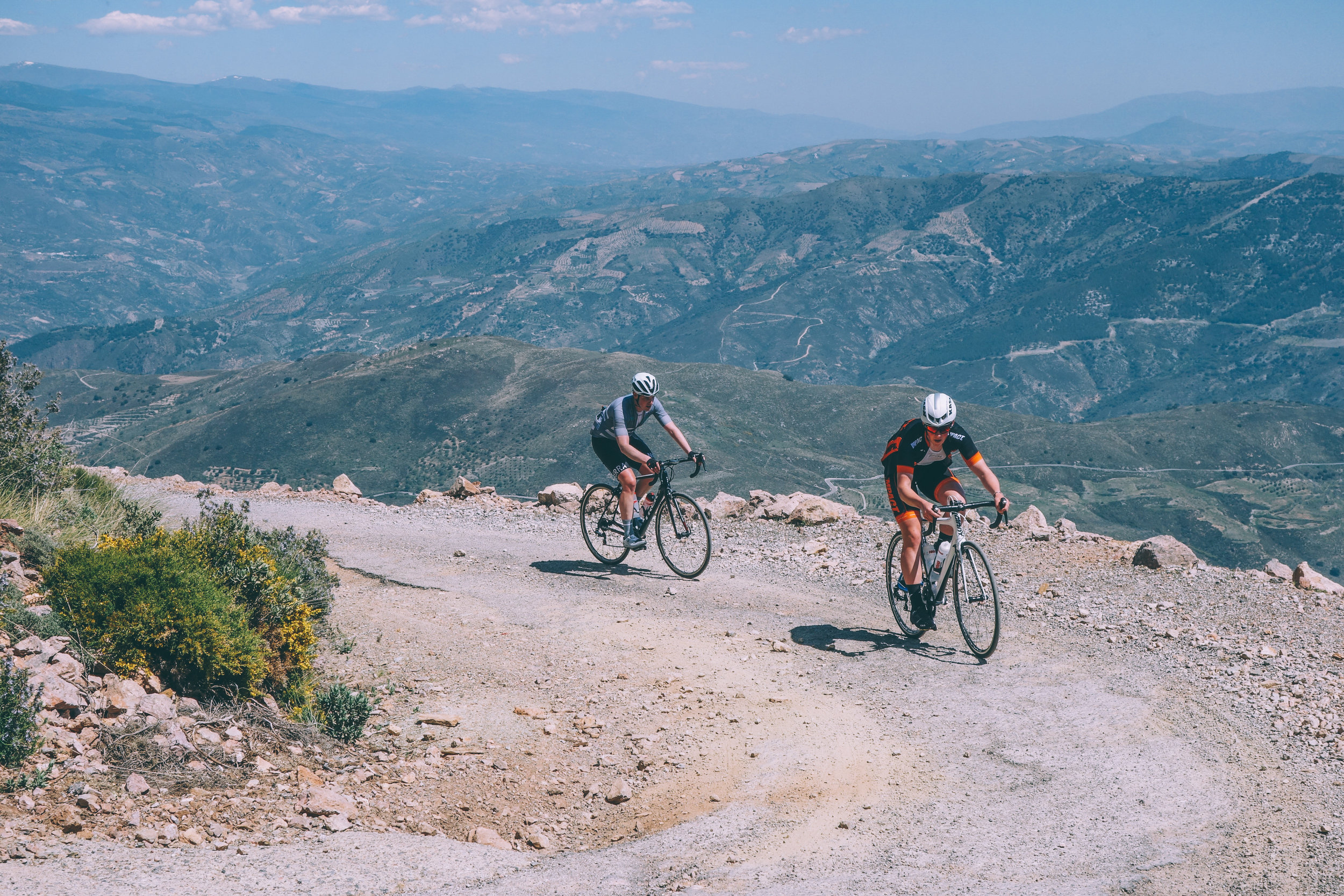
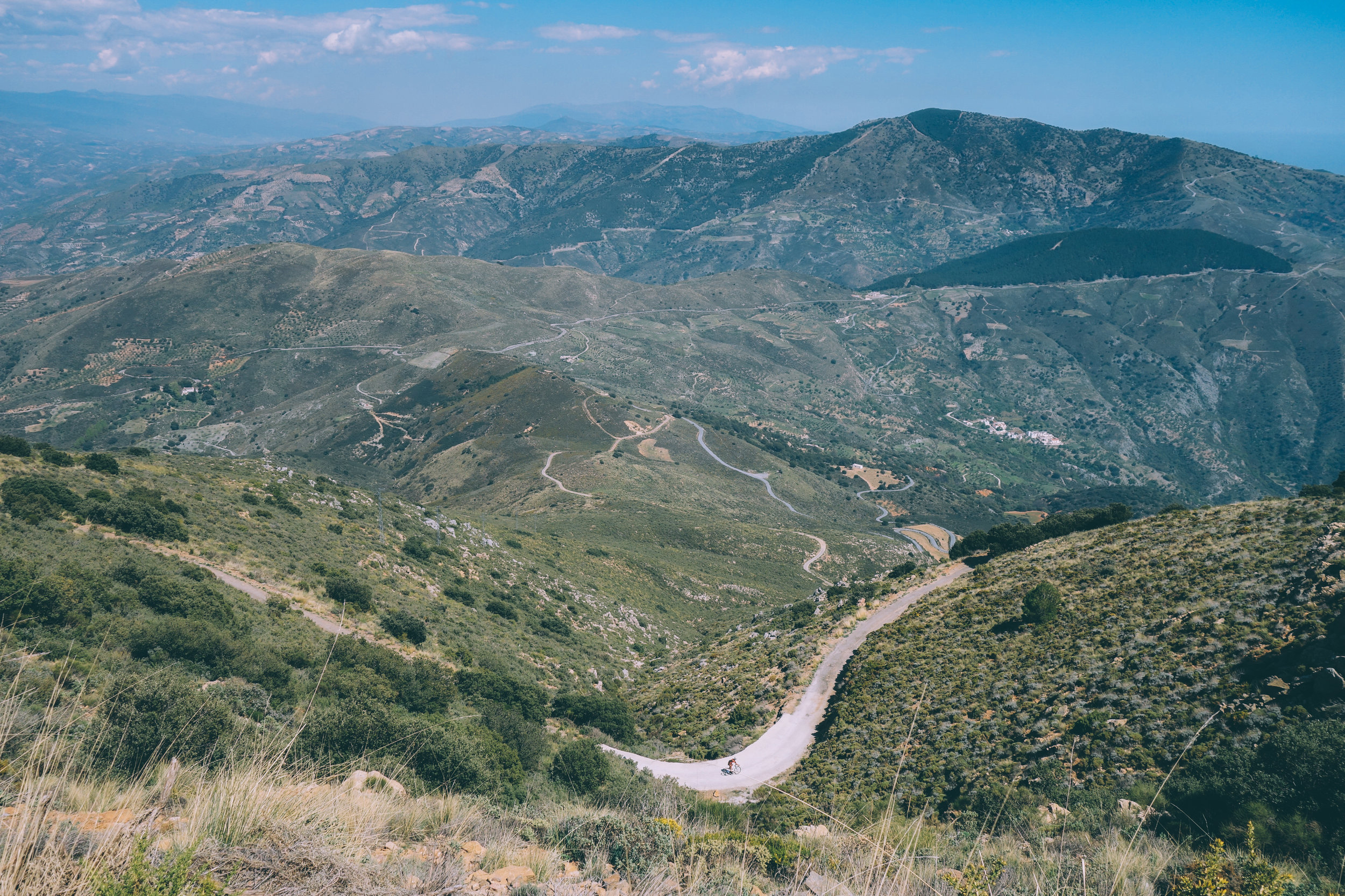
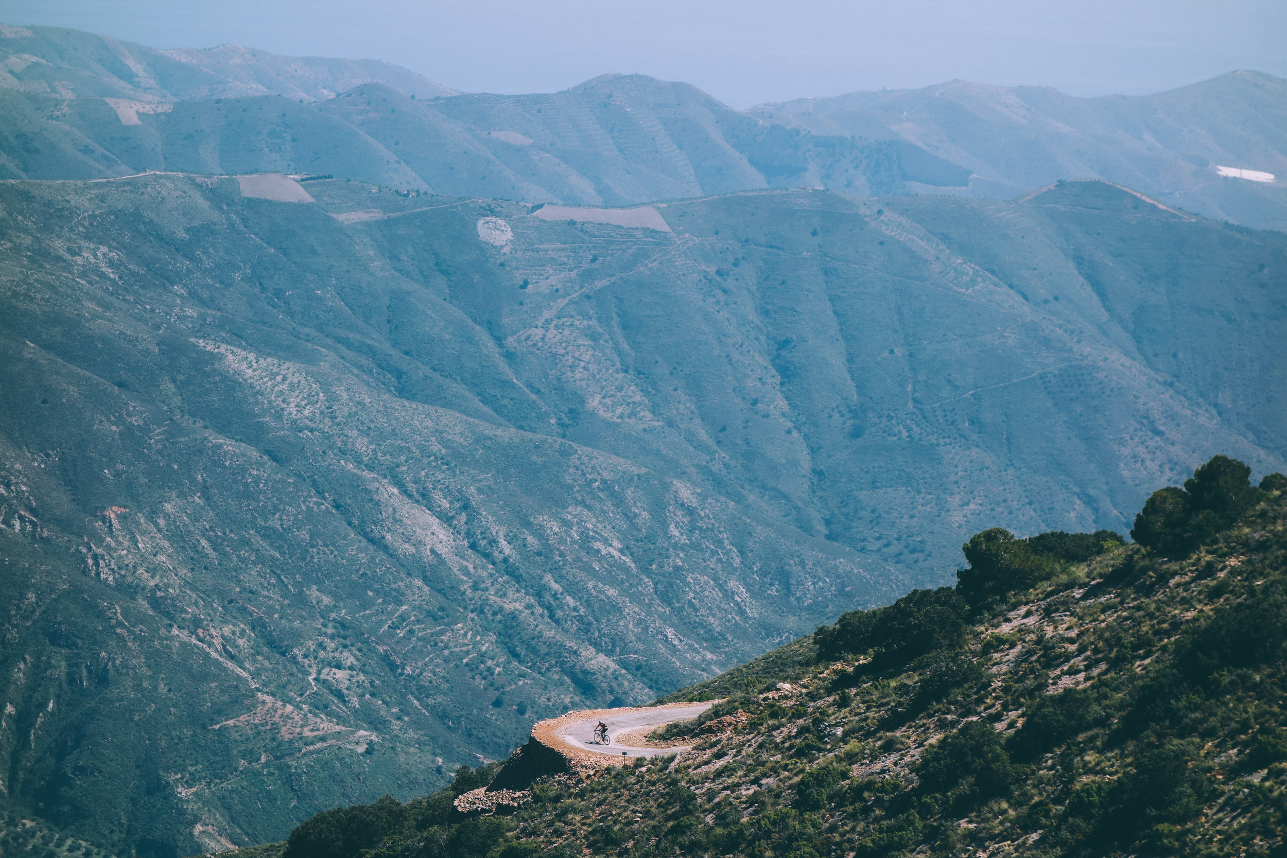
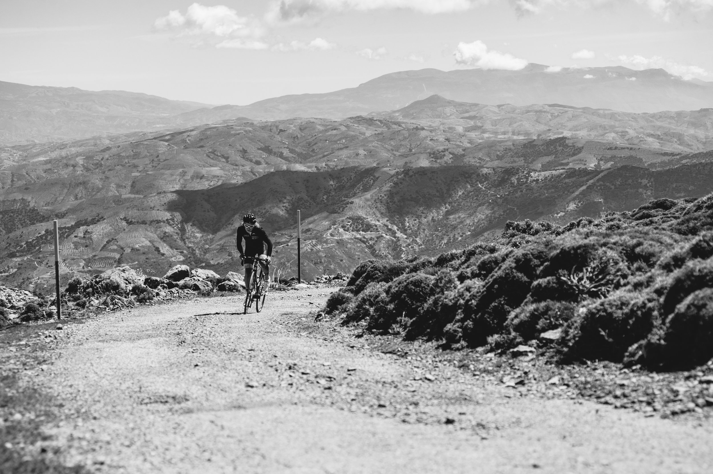
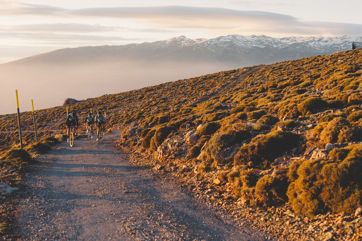
The road surface is very rough, the tarmac (or lack there of) adding even more character to this memorable climb. After 20km you turn off the Orgiva road for the final ascent up to Sierra Lujar, for the last 8km, averaging 9%.

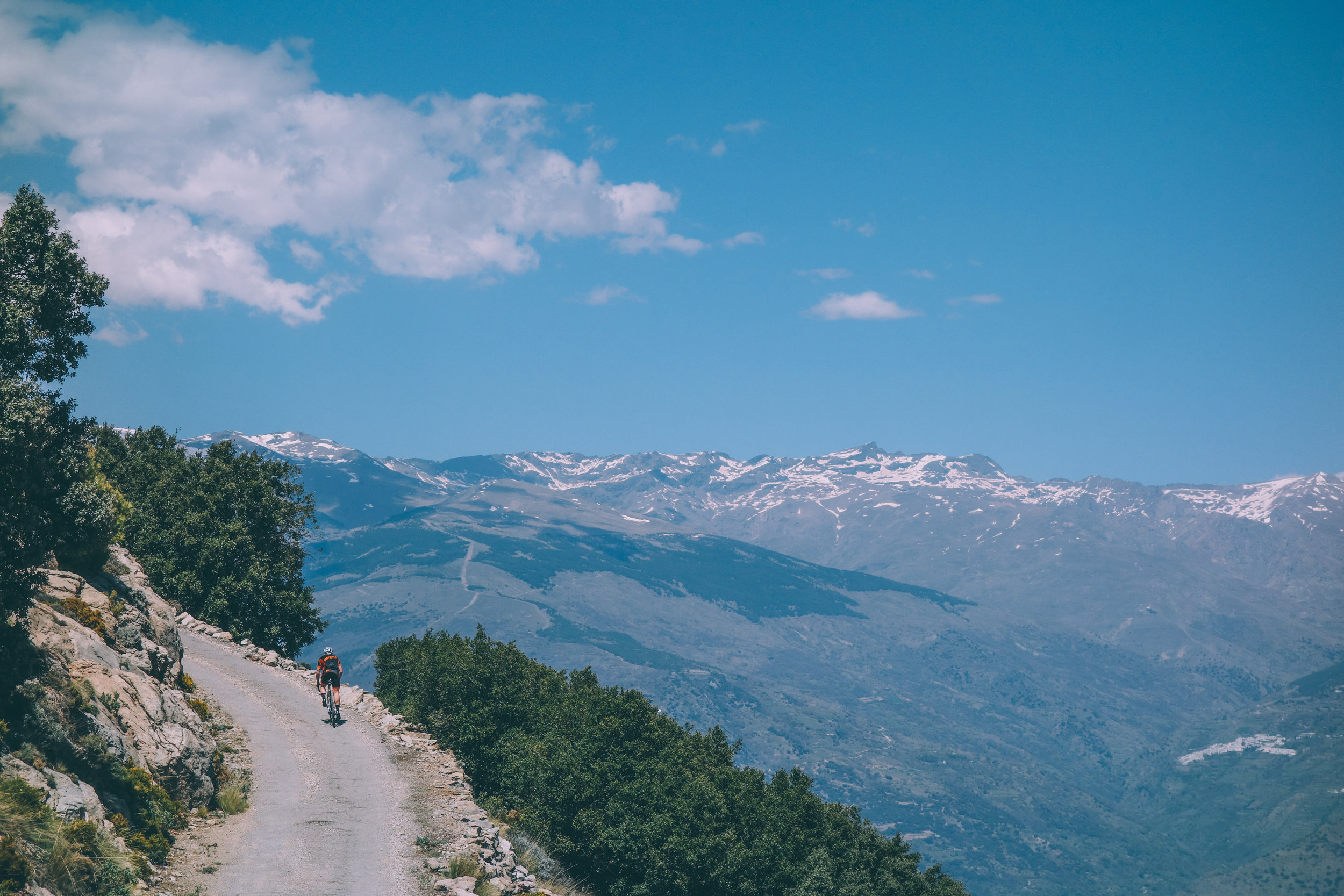
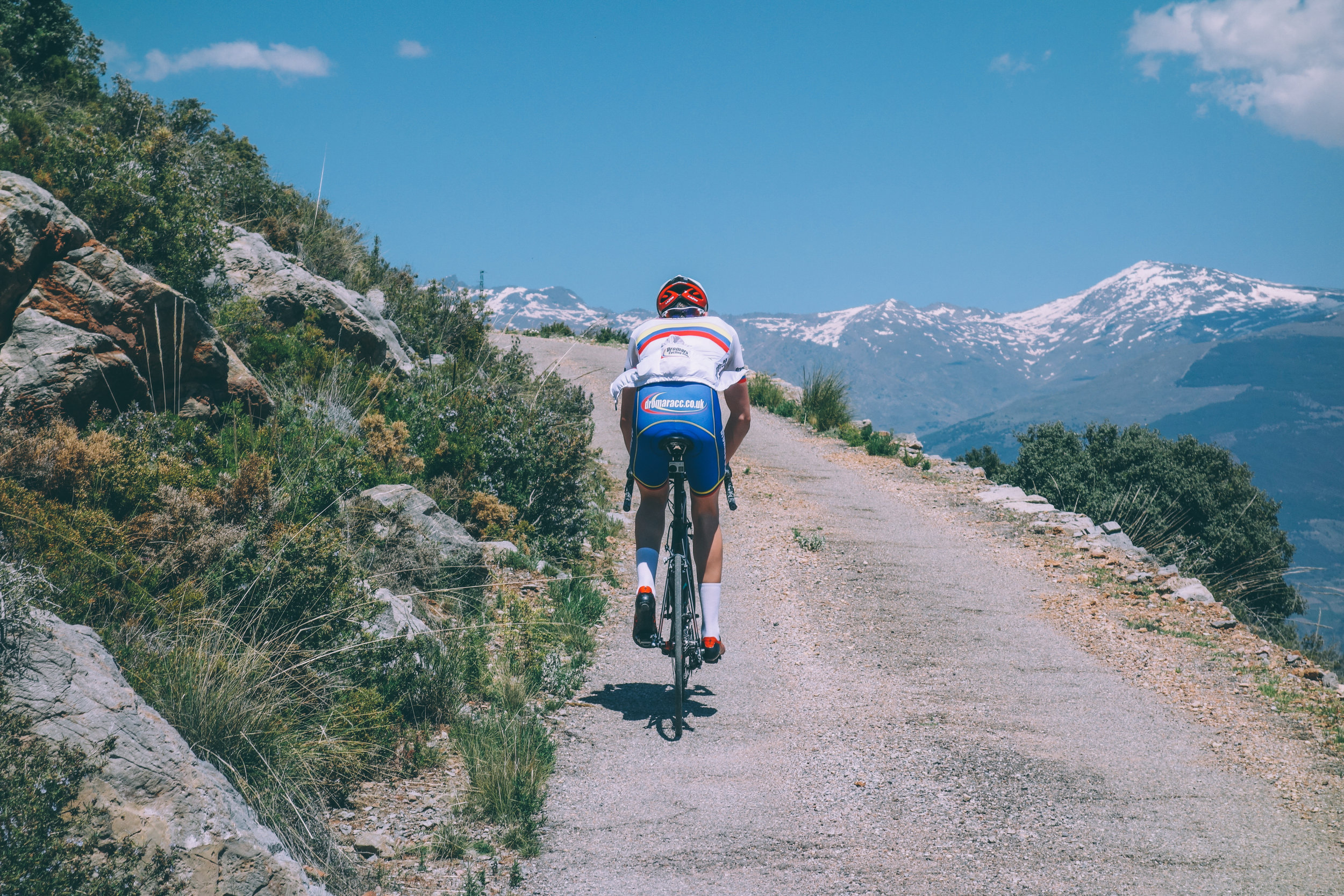
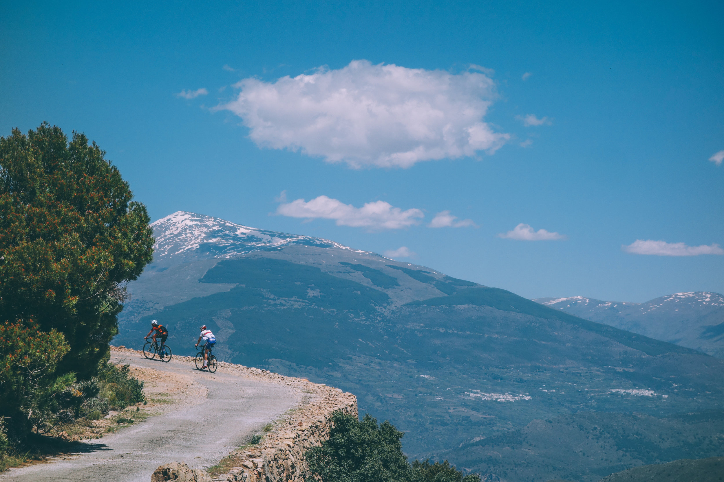
After 1.5 km, you come to the first of seven tight hairpins, complete with steep gradients and beautiful views across the mountains below. These constant bends in the road keep the scenery interesting, and it is with your completion of this climb that you receive your greatest reward. From the summit of Sierra Lujar, there are breathtaking 360° views out onto the Alboran Sea, the Sierra de la Contraviesa and north you have a clear view of the Sierra Nevada. The views and sights that have to be seen in person to be truly appreciated.